See the data
The installation guides visitors towards looking at the urban data in a novel way and perceive rather than explicitly analyzing it.

Hear the data
This multidisciplinary project results from a collaboration between creatives and data analysts, transforming complex data flows into engaging visual and auditory experiences.

Understand the data
The digital component integrates open-source urban data, including real-time and historical data sets such as microclimate conditions, transportation types and delays, and information on waste management.
Microclimate
Our data platform, Golemio, has been collecting microclimate data since 2022. This project introduces a dynamic mosaic driven by real-time data on temperature, rainfall, and humidity from over 30 microclimate stations across Prague.
Mobility
This story introduces us to tram delay tracking in two busy locations in Prague - Florenc and Palmovka throughout the year 2023. Additionally, data from Waze, a community-based navigation system, is layered onto the existing grid to highlight various hazards, traffic jams, accidents, and road closures across the city.
Waste management
The longest-running tracking initiative dates back to 2019, when the first 30 sensors were installed in waste containers to monitor fullness levels. Since then, the network has expanded to over 400 sensors, significantly improving waste management coordination across the city and reducing the carbon footprint of waste collection vehicles.
The Prague Pixels project was first presented in 2024 at the Nordic Edge event in Stavanger, Norway. It has since evolved, integrating advanced interaction, visualization, and sound elements, and is now showcased at the Barcelona Smart City Expo as part of the Czech pavilion. The exhibition runs in a 10-minute sequence. One segment introduces visitors to historical datasets from waste management, transportation, and microclimate projects, with data spanning weeks to years. Another segment displays real-time datasets reflecting Prague’s current state, with visitors able to switch between mobility, waste management, and microclimate data.
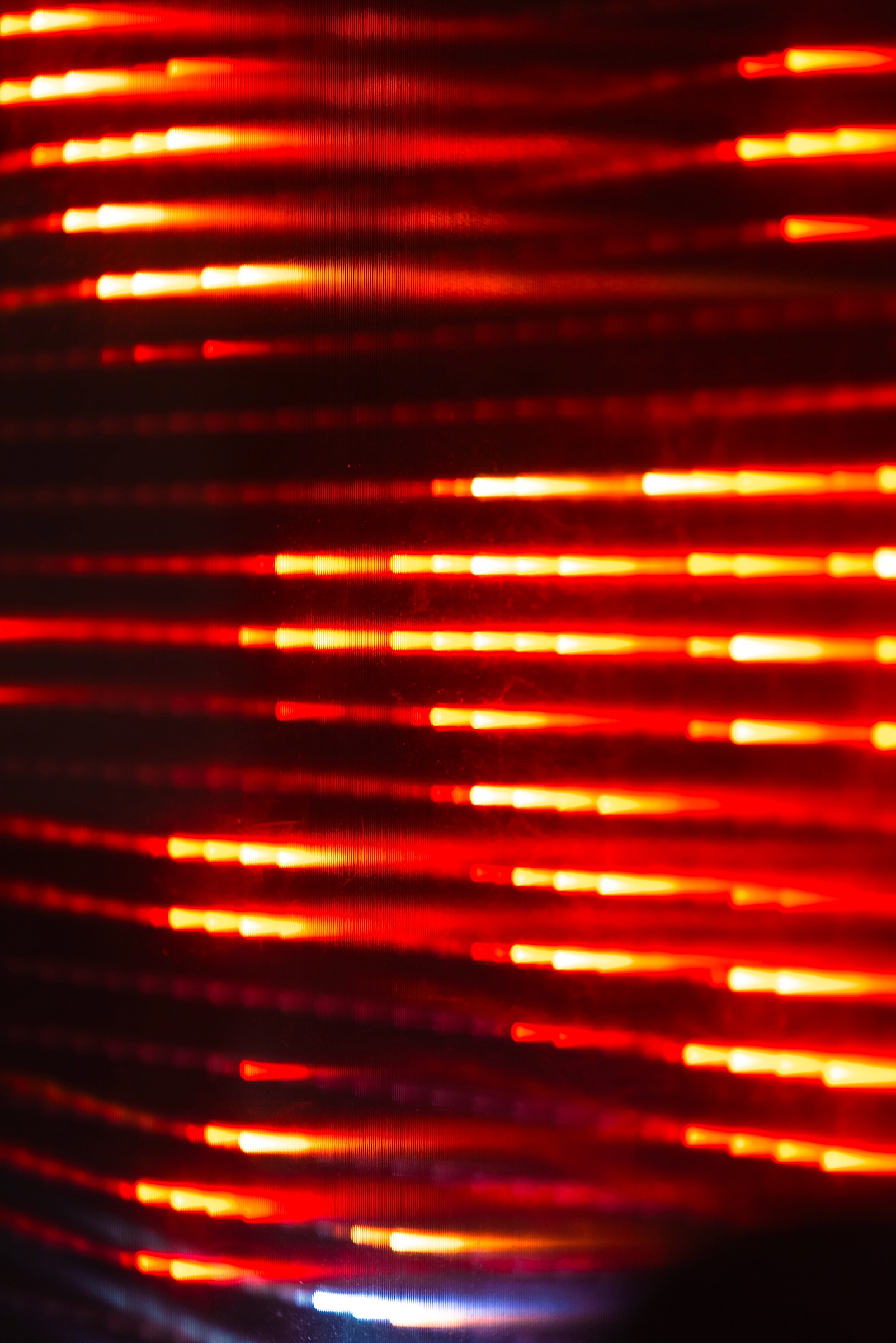
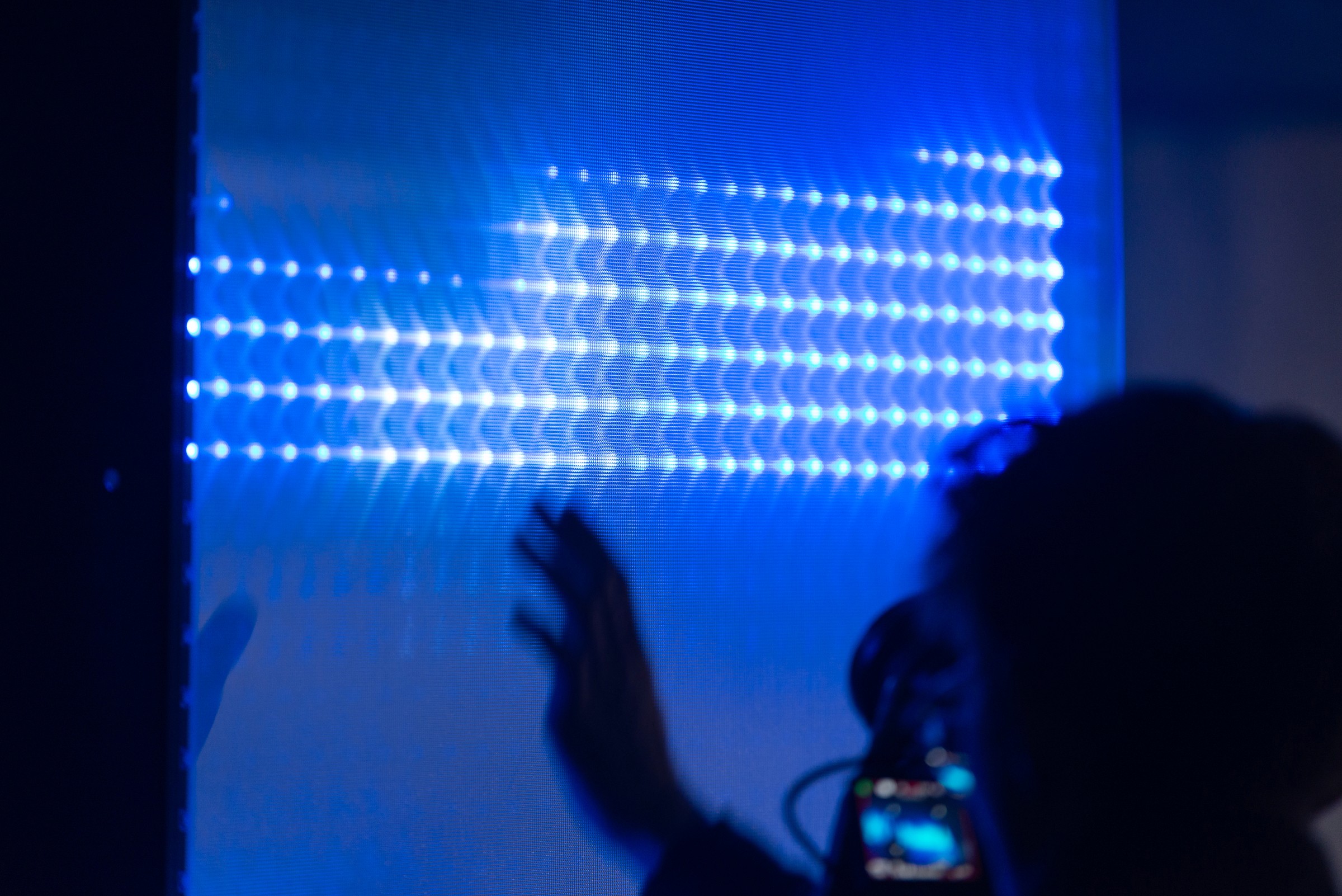
Sound responds dynamically to the displayed data, and simple hand gestures allow visitors to zoom, explore, and switch data views. The pixelated design invites new interpretations through light, color, and sound, guiding visitors to perceive data rather than analyze it. A voiceover aids comprehension, and animations are data-driven, using datasets from Prague's Golemio platform.
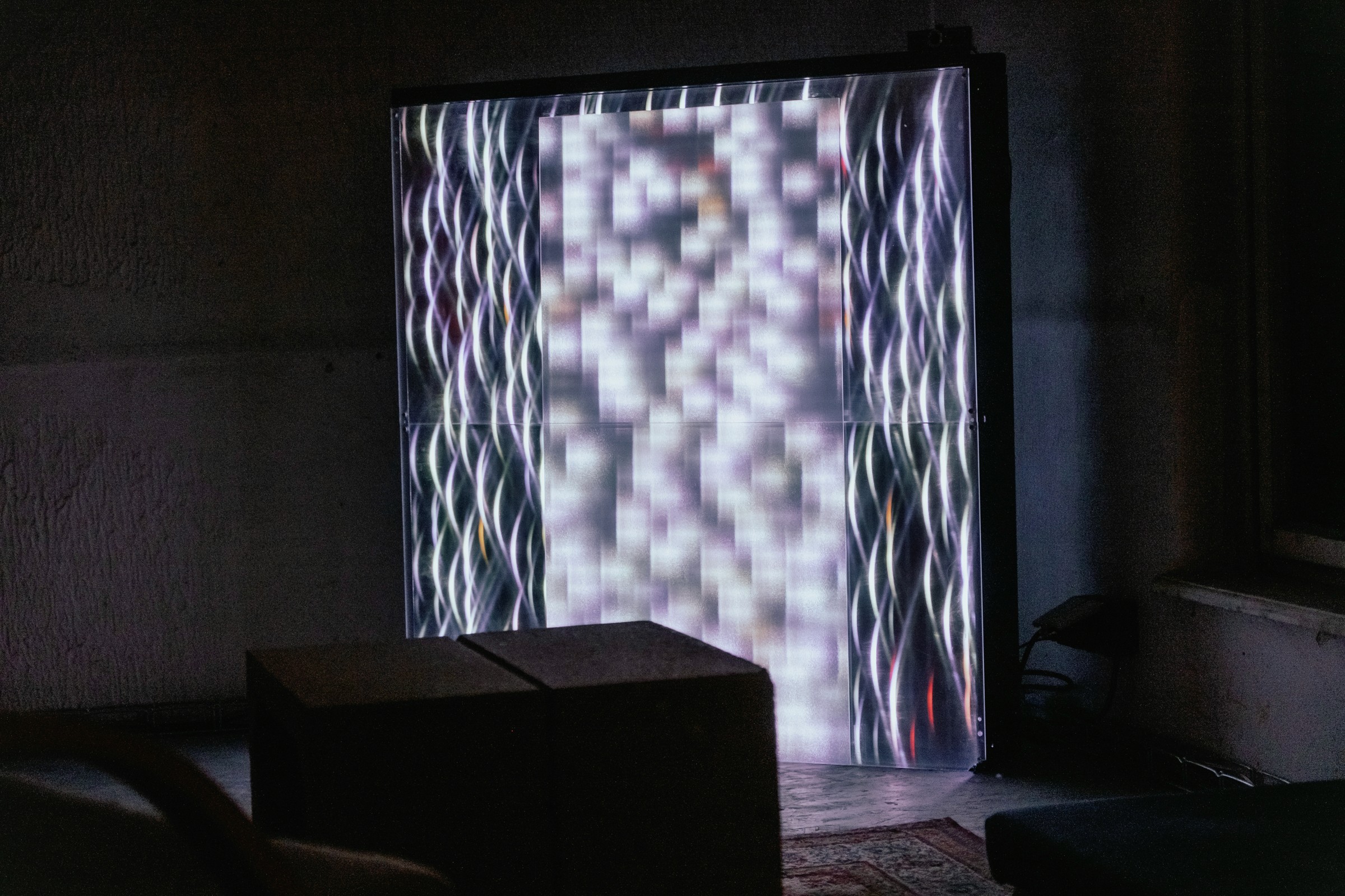
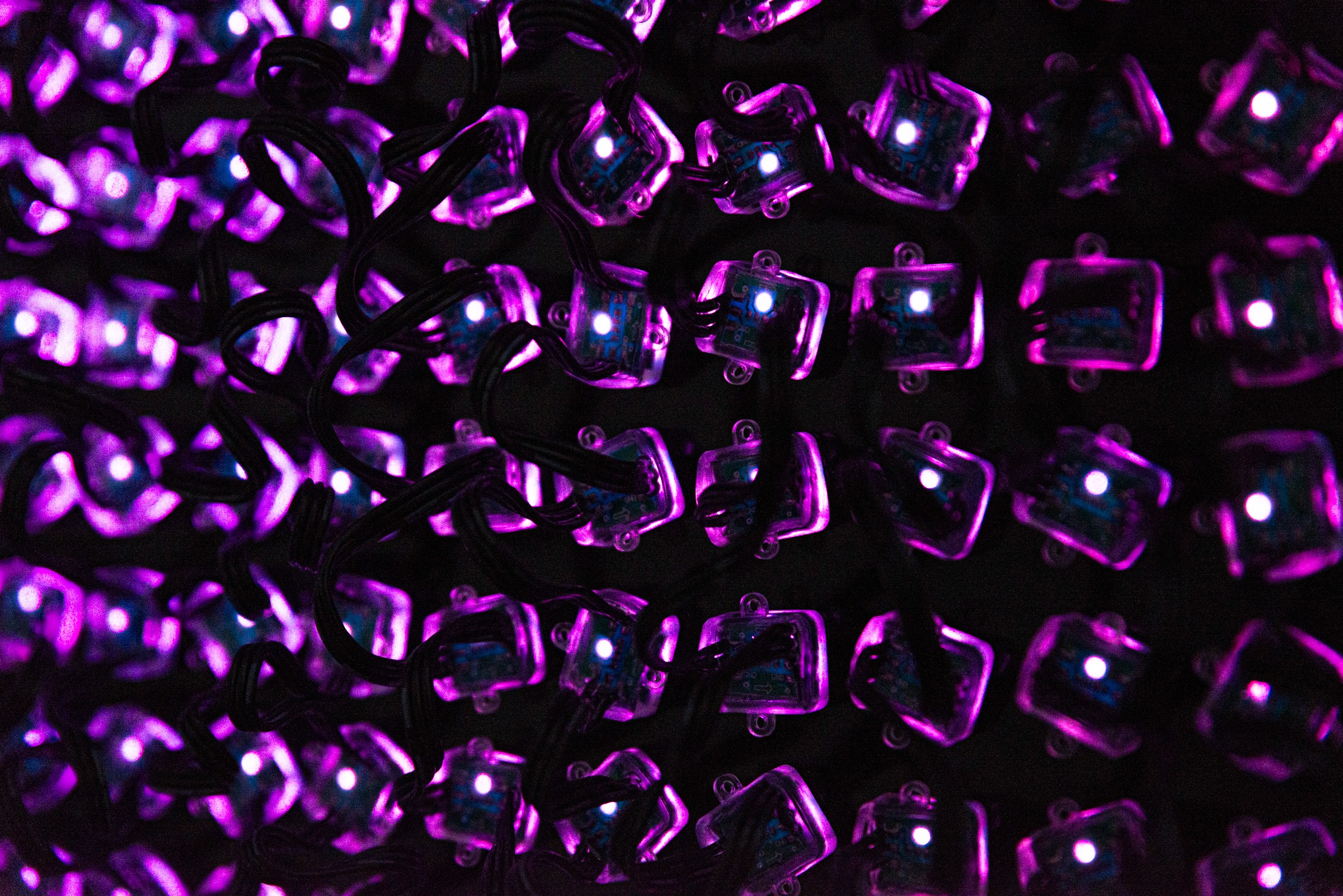
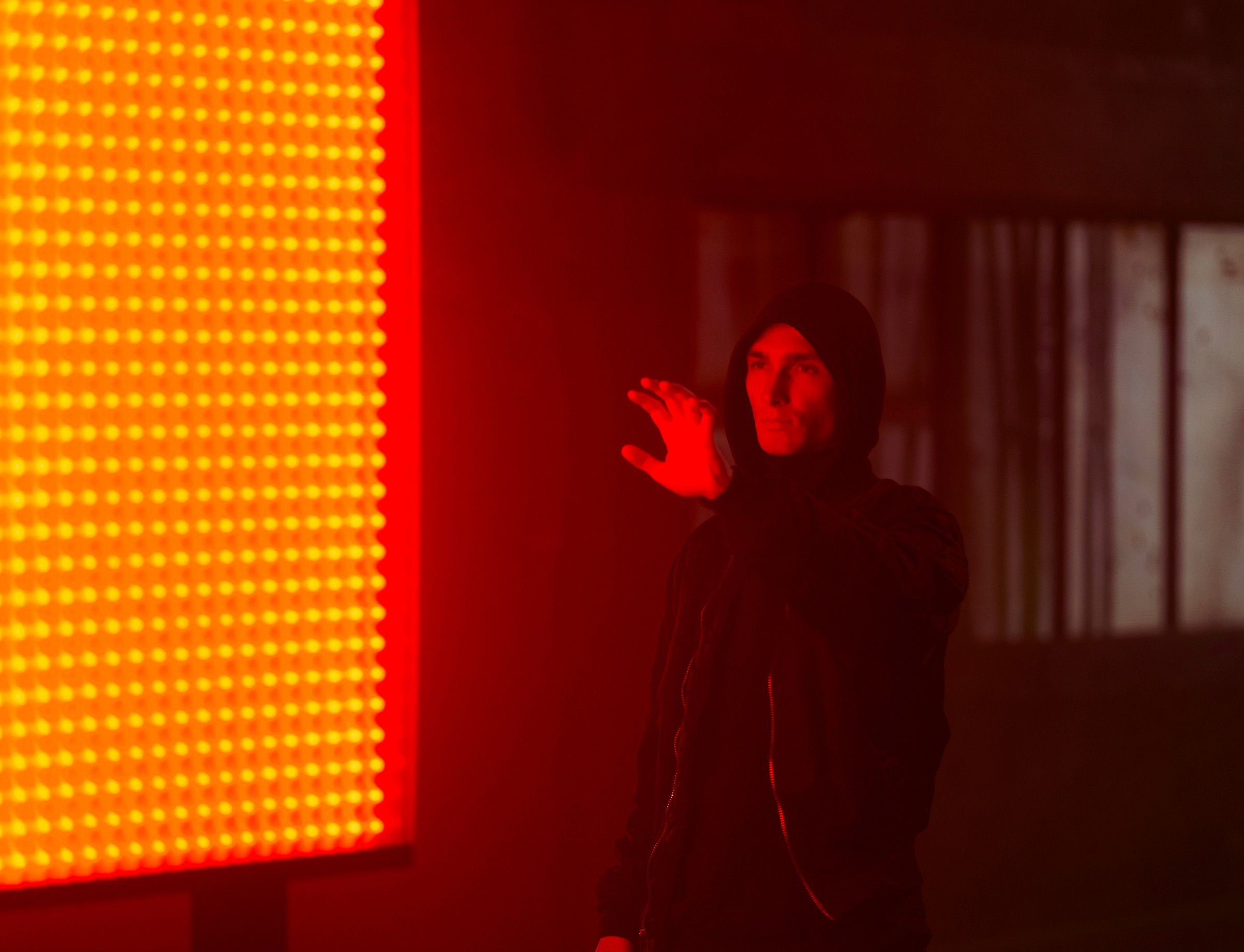
The installation's physical structure consists of individual LED pixels arranged in four modular panels. These panels are versatile, functioning either as standalone units or in combination. Both the digital and physical elements are designed to encourage novel interactions with city data. The digital component integrates open-source urban data, including real-time and historical data sets such as microclimate conditions, transportation types and delays, and information on waste management.
Prague Pixels merges art and technology to narrate the story of Prague city data. This multidisciplinary project results from a collaboration between creatives and data analysts, transforming complex data flows into engaging visual and auditory experience. The installation's physical structure consists of individual LED pixels arranged in four modular panels. These panels are versatile, functioning either as standalone units or in combination. The placement of the panels further generates new spatial compositions, enhancing the immersive experience. Both the digital and physical elements are designed to encourage data exploration from multiple perspectives and allow for meaningful interactions with city data. Each pixel serves as a translation of complex data flows into simplified, emotionally resonant visual and auditory outputs, making urban data accessible through artful expression.


About the authors
Valeriia Riazanova is a creative developer and new media artist with extensive experience in light design, projections, and interactive installations. With a background in urbanism and environmental studies, she specializes in tech-based solutions for site-specific installations and live performances. Valeriia's approach is tailored to each project's unique requirements, utilizing a diverse range of tools, including lighting fixtures, lasers, projection mapping, custom-made LED walls, and sensors to create engaging and immersive experiences.
Veronika Miškovičová is an architect, researcher, and designer who completed her PhD at the Academy of Arts, Architecture and Design in Prague (UMPRUM), focusing on the integration of biotechnology into architecture. Her research emphasizes the potential of multidisciplinary collaboration in project development. Specializing in spatial design, Veronika employs creative thinking and hands-on prototyping, utilizing both high-tech and low-tech approaches. With a foundation in 3D design, her work critically explores innovative solutions that enhance spatial experiences and advance the discourse on sustainable practices and alternative perceptions of space.
Credits
The project was developed in collaboration with more than 20 people across various disciplines, including audio-visual arts, data science, IT, local manufacturers, friends, and production support—the list goes on. Special thanks go to (in no particular order): František Kaláb, Jakub Benda, Nicolas Prchal, Filip Vedra, Filip Smil, Pavel Husa, Jan Jansa, Marek Šilpoch, Otto Urban, Cyril Kaplan, Martin Vítek, Lucia Legáthová, Tomáš Vácha, Petr Suška Robin Skotnicki, Martin Klimpar (Biofilms.cz), Lukáš Váňa, Barbora Svobodová, Denisa Pevná and last but not least, the OICT team.
Powered by OICT
OICT is a municipal joint stock company aimed at enhancing Prague's quality of life through innovation and technology. Our mission is to transform Prague into a leading global metropolis by improving urban living. We manage Smart City projects, provide expert consulting, and implement ICT initiatives for the city and its districts. A key initiative is the Golemio data platform, enabling informed decision-making. The PID Lítačka mobile app offers real-time transport information. We engage in international cooperation with cities across Europe to share knowledge and best practices and participate in Horizon Europe projects, including NEB-Star, which inspired the Prague Pixels installation to make the city smarter and more connected.